There is nothing like looking, if you want to find something.
You certainly usually find something, if you look,
but it is not always quite the something you were after.
J.R.R Tolkien
This weekend I got the chance to travel to the most sinister location of Middle Earth... Mordor! The Tongariro Alpine Crossing was used to film a large portion of Frodo and Sam’s journey into the land of Sauron, including Mt Doom!
Tongariro National Park is a 4-5 hour drive from Auckland so a hostel was necessary. We always try to find the best bargain especially when we are staying 2 nights. So we found a great hostel that gave us a package deal of 2 nights and the shuttle ride to the park on Saturday morning.! So I called to book a room and spoke to the hostel owner Ian who lived there with his family. After booking our room, he asked me if I was American or Canadian. So I proudly said Canadian and the first thing he asks me is if I had any Canadian maple syrup! And that if I did that I needed to bring it! I did bring some maple syrup here from the St. Jacob’s Market but it didn’t last to long in our house so I sadly said that I did not have any. I tried to find the tin it was in but we must have recycled it long ago. But I brought a bunch of little Canada pins my Oma found, so I promised to bring one for him! Hostels/backpackers have a ton of international guests, and he had another Canadian leave a can of Pure Maple Syrup that he displays in his office. He was very excited to show it off when we arrived at the hostel late Friday night. We spent about half an hour chatting before he finally gave us the key to our room. We usually raise a lot of questions when we go places. Because we all sound different with our various accents and so people start asking us where we are from and when we say 2-3 different countries they get confused about how we all know each other. So then we go into details about our jobs and such. Ian went a step further then most other people and gave us all nicknames haha! I was maple, Amanda is from Swedan so she was Abba, Verena and Sinah are from Germany so they were Pretzel and Schnitzel. When we left Ian told me that if we come back and make pancakes then he will open the can of maple syrup! It was the best experience I’ve had at a hostel yet!
 |
| At the hostel |
Even before I got here I knew that the crossing was one thing that I HAD to do! The crossing is a total distance of 19.4km ranging in difficulty. I was told that it was 22 km so when we got to the sign and it said 19.4km I made the mistake of saying “oh it’s only 19.4km!” Did that ever come back and bite me in the bum! I had started running to try and help me prepare for this but nothing could really prepare me for what I was about to endure during this hike.
Here are 2 maps of the hike we trekked! Hopefully it will help you to picture what we went through.


We started bright and early on Saturday with a 5am wake-up call to catch a 6:50am shuttle to Tongariro National Park. We got to see a beautiful pink and purple sunrise.

 |
| In the shuttle on our way to the crossing! So nervous! |
Mangatepopo Car Park to Soda Springs
We were dropped off at 7:15am at the Mangatepopo Car Park, had some breakfast and our last bathroom break for 3 hours. In high spirits began our trek at 7:30am. This first section was quite flat and there was a boarded path that made it very easy to follow and walk on. We followed the path beside a stream which used to be an old lava flow!

Soda Springs to South Crater
This section is known as Devil’s Staircase... Yep... it was! It was steep, we went from 1400 meters above sea level to 1600 meters above sea level. Even in between the stairs it was extreme uphill and was far from a smooth path.
 |
| There is me looking pretty defeated, taking a break on the side! |
 |
 |
| At the top with Jacquie, Vicki, Katie and Chubby Dino! |
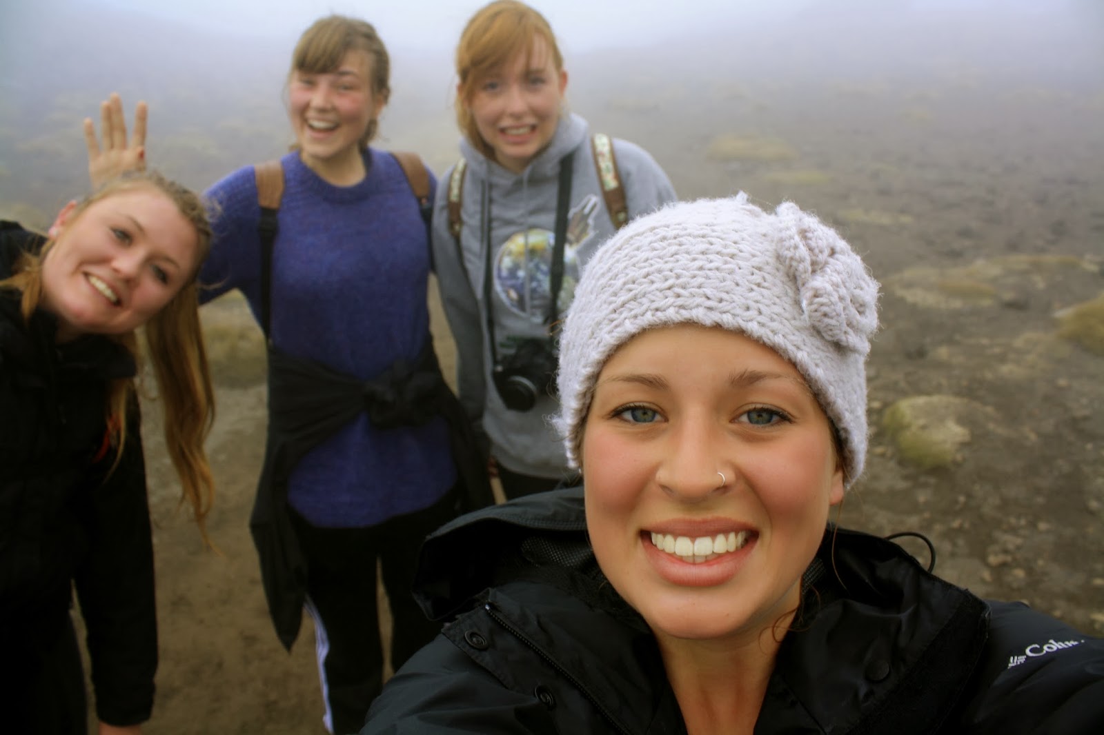
This section consisted of layers of old and modern lava flow and other volcanic deposits. It nearly killed me and this wasn’t even the hardest part haha. See I can laugh now because it’s done but man during it I just wanted to punch something! We unfortunately had a cloudy day so the views were very foggy but this is where you were suppose to see Mt Ngauruhoe which was Mt Doom in TLOR.
 |
| Volcanic activity |
 |
| Mt Doom..apparently… We will take their word for it. |
South Crater to Red Crater
FLAT!!! We reached another straight section but this didn’t last long. It was also the creepiest part of the walk. It just looked like we were walking into nothing. I actually got scared at one point that we might be walking in the wrong direction. We made it out alive though and I kind of wish were going the wrong way because the next section was horrendous!!!

Ok so picture the scene in The Hobbit, when the Dwarfs, Gandolf and Bilbo are caught in between the rock giants fighting. The rain and wind, the small path and exposed edge! Ya I was there! It was insane. Sinah told us afterwards that she was so glad she had put her host families numbers in her ICE contacts so that they would know who to call... The wind made the rain come at us sideways and it was freezing! I couldn’t feel me hands. The one side was exposed and dropped straight down and on the other side of the narrow path was a jagged rock edge that we used to help us climb. Then we got to a steep sand hill where you would take one step forward and slip 2 steps back. Extremely frustrating! But we made it! It was the happiest moment! We paused at the top to warm up and re-fuel. It was all downhill from here.
 |
| At the top! We made it! I think I was leaning to hold myself up haha. |
Red Crater to Blue Lake
This section was probably the most fun and most worth it! The hill was deep sand so when you stepped you slide about a foot each time. Before we got the hang of it most of us fell on our butts! We laughed lots!
 |
| View from the bottom |
 |
| View from the top |
And at the end of this hill was a pair of stunning emerald lakes! The minerals from the surrounding rocks make the water turn this colour.
 |
| Emerald Lakes Like you didn't guess from the colour of the water... |

Blue Lake to Ketetahi Hut
 After emptying our shoes of sand and rocks we continued. And so started the downward zigzag trail. The sun had started to come out and so we got to see some nice scenery including the Blue Lake. This is a cold acidic lake that is scared and it is disrespectful to eat or drink around its shores. So we took pictures instead. We continued along and reached a flat surface which was once filled with molten lava, cooled and solidified to make a 1000m wide crater. Then we got to hike around and down Mt Pihanga and Lake Rotoaira. Since we were making good time we stopped and waited for the clouds to pass so we could snap a view pictures!
  |
| Blue Lake |
Ketetahi Hut to Car Park
The end is near! That was pretty much the only thing that was getting me through. It was a pretty quiet walk from here on out. All focused on finishing. We reached the 3km to go sign and our path turned from mountain views to rainforest. It was a refreshing change of scenery. We made it to the car park at 2:30pm, making a grand total of 7 hours to complete The Crossing!
 |
| We hiked around and down to the end of that lake. |
 |
| some more volcanic activity |
 |
| Last stretch. 2 hours to go! |
Can check one more thing off my list.
This is probably one of my greatest accomplishments!